Mejora de la movilidad y seguridad vial en Tejina mediante nuevas vías
The plenary commission of Territorial Planning of La Laguna has approved to raise to the Plenary of the Corporation the request to start the environmental evaluation for the minor modification of the local General Urban Planning Plan (PGO) in two areas of Tejina. This action is the essential previous step to be able to execute a new connection road in the La Majada area and expand the Pico Bermejo road, actions that aim to respond to the residents’ demands for improvements in connections and road safety in these residential areas, which house infrastructures such as the CEIP Princesa Tejina or the Izquierdo Rodríguez soccer field.
The Mayor of La Laguna, Luis Yeray Gutiérrez, chaired a Commission in which he recalled that «these actions have been directly proposed by citizen platforms and in a shared process, which we started in the previous mandate, to decide which modifications of the PGO were more urgent and viable.»
«As a result of this participatory work, which includes a process currently underway for the Aguas de Dios ravine and surroundings, it was decided to prioritize in Tejina the completion road in the north of the urban core, in the La Majada area, as well as the widening of the Pico Bermejo road in the Lomo Las Rías area, specifically, from the Pata Rajada curve, on the main road, to the El Pico square,» explained the Mayor.
Likewise, Gutiérrez emphasized that «these new roads will represent a significant improvement in mobility and road safety in the town and the region,» with an area included in the analysis of the PGO modification exceeding 329,000 square meters.
The Councilor of Territorial Planning and managing director of the Urban Planning Management of the City Council of La Laguna, Adolfo Cordobés, explained that «the existing roads at present, very narrow and with two-way traffic, respond to the original layouts of agricultural paths that, progressively, have been transformed into roads without urban conditions, geometric parameters, longitudinal profile, or cross-sectional suitable for the maximum speeds advisable for an urban road.»
The councilor pointed out that «we already have all the documentation and analyses and alternatives for each road, on which comprehensive information has been provided to the political groups present in the plenary commission, so we hope to have the support of the municipal Plenary to take the next regulated step, that of the request for environmental evaluation to the Tenerife Island Council.»
Initial Approval
Likewise, he announced that, «according to the usual deadlines in these processes, which will include gathering sectoral reports and subsequent phases of information and public consultation, we hope that this minor modification can be submitted to the Plenary, for its initial approval, by the end of next year.»
«Given the citizen demand and that these roads connect with educational and sports infrastructures, we have opted for this minor modification procedure of the PGO to proceed faster, instead of waiting for the drafting of the new General Plan, whose drafting we will soon tender,» added Cordobés.
The scope included in this modification adds up to an area of 292,760 m2 in the surroundings of the Milan neighborhood towards the La Palmita neighborhood, as well as 36,377 m2 in the path of the Pico Bermejo road.
Among the reasons motivating this process, in addition to those already mentioned, is the lack of an adequate east-west transversal connection between the existing urban areas north of the island road (La Palmita and Milan), as the currently used road lacks the necessary section to ensure both the functionality of road traffic and the safety of pedestrians.
Furthermore, the existing community facilities (CEIP Princesa Tejina and soccer field) have a large influx of vehicles that exacerbate the accessibility and mobility problems of the area.
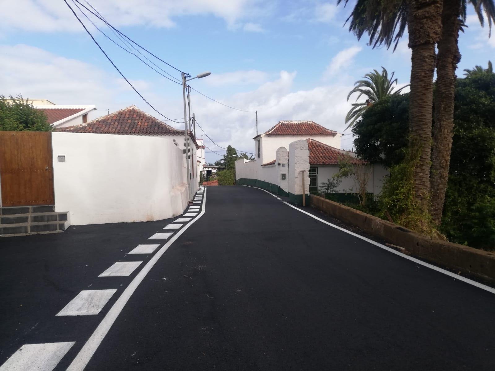
To this is added the current road network in the El Pico area, organized from agricultural paths, with dimensional and service deficiencies, where road traffic, pedestrian traffic, and parking areas are intermingled. The most significant case is that of Pico Bermejo, a narrow and winding road, with little visibility for pedestrians on the curves.
Objectives and Alternatives
The objectives and criteria to solve the detected problems, following the principles of sustainable development and specific urban planning, include improving mobility and accessibility, acting on the road system, traffic, parking, pedestrian areas, etc. For this, alternatives with less impact on the land and the Cuevas ravine have been considered, where a bridge will have to be built.
In this sense, efforts have been made to harmonize the requirements of social and economic development with the preservation and improvement of the urban environment, as well as to adapt detailed planning to risk analysis, especially those related to floods linked to the existing ravines in the modification areas. It also includes the implementation of tree planting and the improvement of infrastructure networks, especially those related to the water cycle.
In the case of the connection in La Majada, the alternative considered most viable in this processing phase consists of creating a new connection road, which will partly run on existing sections. This is classified as General Road Network System (SGRV), a designation to identify those of great importance within a PGO and essential for the organization and mobility of an urban area, which will allow the obtaining of the necessary land for its execution.
In its design, the necessary measures will be established to prioritize pedestrian and cyclist traffic over road traffic, which will be moderated to allow a space for interaction between the homes and the different open spaces and facilities in the area.
As for the El Pico area, the most valued alternative proposes its widening with the least possible impact on agricultural land and includes substantial improvements in universal accessibility of public space, while allowing for a greater specialization of the nearby urban road.
It is worth mentioning that this minor modification procedure does not imply a comprehensive reconsideration of the planning model, in other words, it does not intend to reclassify land or establish determinations that enable or have the effect of increasing the average building density or population density allowed by the current general planning.