The alert situation for heavy rain has been declared in La Palma, starting at 9:00 p.m. this Saturday
An anticyclonic mass will bring stable weather to the Peninsula throughout Sunday, with clear skies prevailing except for the Canary archipelago where the approach of a storm will bring cloudy skies and locally heavy rainfall, according to the State Meteorological Agency (Aemet).
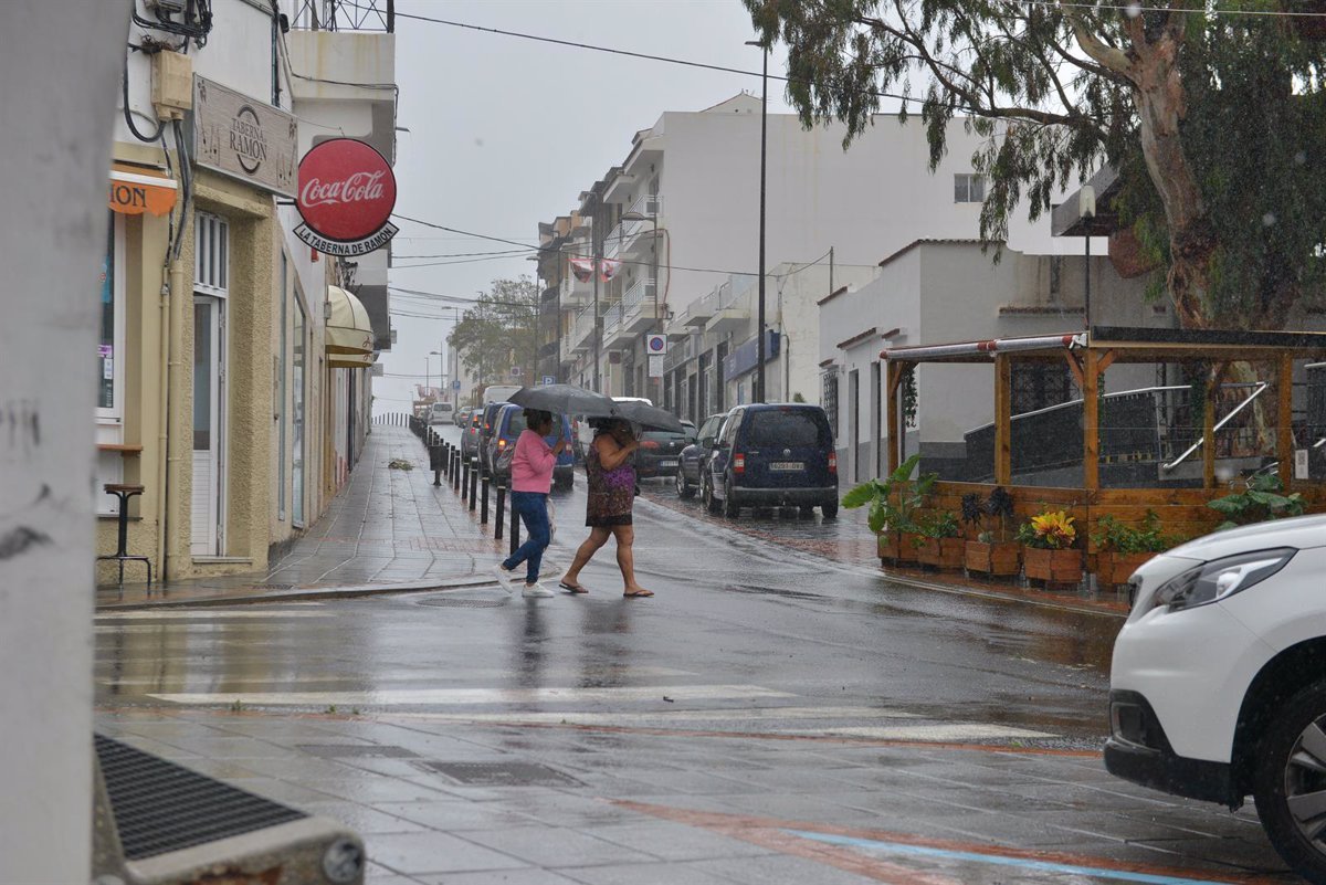
Thus, during the early hours, La Palma and El Hierro have been on alert for storms or locally heavy rains, which may also reappear late in the day, and are expected to be weaker in Gran Canaria or Tenerife with southeast winds.
In fact, on Saturday night, the General Directorate of Emergencies of the Government of the Canary Islands, based on AEMET’s forecast and other available sources, has declared an alert situation for rain on the island of La Palma, while maintaining a pre-alert situation for the island of El Hierro.
In La Gomera, weak to moderate precipitation is expected, especially in the western slope and inland areas late in the day when it may become locally heavy.
According to the latest update from Cecoes 112, La Palma has experienced very heavy rainfall, especially in the northeastern midlands, with accumulated precipitation values of more than 30 mm, which caused some isolated incidents in the area, such as a tree falling on a road in El Paso, rockslides on the road to Puerto de Tazacorte, and sewer problems due to saturation in San Andrés and Sauces.
According to Aemet, the intense rainfall is expected to diminish.
REST OF THE COUNTRY
Aemet reports that only cloudy skies will occur in the morning in the eastern Cantabrian region and upper Ebro.
Additionally, an orange warning has been issued for strong wind gusts in the Catalan Pyrenees, in Ampurdán with gusts of up to 100 km/h. There is also an orange warning on the coasts of Mallorca and Menorca, where waves could reach between 4 and 7 meters in height along with gusts of up to 85 km/h, with isolated showers expected in the late hours.
As for temperatures, maximum temperatures will decrease in the Balearic Islands and the northeastern half of the Peninsula, with increases in Andalusia, Ceuta, Melilla, Castilla y León, and the Canary Islands, while remaining stable in the rest of Spain. Therefore, temperatures will be somewhat homogenized between 15ºC and 25ºC throughout the Peninsula.
Overall, the weather will be stable, and as the day progresses, temperatures will reach around 24ºC in Pontevedra, 21ºC in the southwest of Andalusia like in Cádiz, Sevilla, and Córdoba, or 20ºC in Madrid and Barcelona.
Similarly, minimum temperatures will decrease in the Pyrenees and the southern Iberian Peninsula by 2ºC to 6ºC throughout the day. However, in the rest of the country, there will be temperature drops averaging between 2ºC and 3ºC in the Peninsula.
Therefore, Aemet warns that there may still be frost in some areas. Sunday morning will initially be cold in areas of the Iberian Peninsula like in Huesca, Teruel, and Cuenca, as well as in inland areas like in the Montes de León or in the Central System in the areas of Ávila and Segovia.