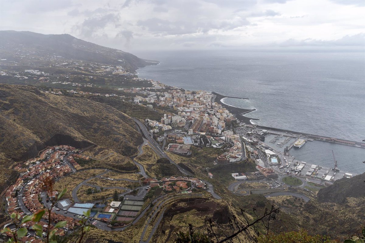
The day of this Sunday will have cloudy intervals in the north of the islands with higher relief and will be partly cloudy or clear in the rest of the areas, except in La Palma and El Hierro, where there will be cloudy intervals due to convective cloudiness, according to the forecast from the State Meteorological Agency (Aemet).
In Lanzarote and Fuerteventura, it will remain partly cloudy with morning intervals on the north and west coasts.
Temperatures will undergo few changes, except for slight decreases in high areas of the mountainous islands.
The wind, on the other hand, will blow from light to moderate from the north, with breezes on the southwest coasts of the mountainous islands. In the central peaks of Tenerife, it will blow moderately, increasing to strong from the southwest, with probable very strong gusts especially from the afternoon onwards.
CONJUNTO DEL PAÍS
This Sunday, atmospheric stability will be maintained in most of Spain, with some cloudiness in the northern third of the peninsula, and temperatures rising significantly in the west, with very high maximums in some points of Andalusia.
According to the State Meteorological Agency (Aemet), in areas of the extreme north and northeast of the country, low cloudiness is expected, leaving cloudy skies, with the possibility of weak and scattered precipitation. In the rest of Spain, partly cloudy or clear skies will prevail, without precipitation, and the presence of some high clouds in southwestern areas of the peninsula cannot be ruled out from the afternoon onwards.
In the Canary archipelago, on the other hand, Aemet predicts cloudy intervals in the north of the islands with higher relief and clear skies in the rest, with bands of high cloudiness, more likely in the eastern islands, without precipitation. And calima is expected in the southern third of the peninsula, tending to extend to the southern half.
Maximum temperatures will moderately decrease in the eastern third, which could be significant in the interior of the Valencian Community. In addition, heat will rise slightly or moderately in the western half of the peninsula, locally notable in the Rías Bajas. The highest temperatures in the country will be reached again by Córdoba and Granada, with 40 degrees; followed by Huelva, with 39; and Jaén, with 38.
As for the minimum temperatures, they will tend to decrease moderately in the northeastern third and rise slightly in the southern peninsula, with increases that could be moderate in the southernmost extremity.
Temperatures are expected to exceed 38 degrees in wide areas of the interior of the southern half of the peninsula, surpassing 40 degrees in the Guadalquivir valley. In the Canary Islands, significant thermal changes are not expected. The lowest minimums will be in the early hours in León, at 8 degrees; followed by Lugo, Vitoria, and Burgos, at 10.
The wind will blow lightly and moderately from the north in much of the peninsula. In the Mediterranean interior, winds from the south or southeast will prevail. In the Levantine coast and the Balearic Sea, moderate north winds will blow, with strong or very strong gusts in the Ampurdán. In the Strait and Alboran Sea, the easterly wind will tend to intensify, reaching intervals of strong and very strong gusts. In the Canary Islands, there will be light to moderate north winds.