
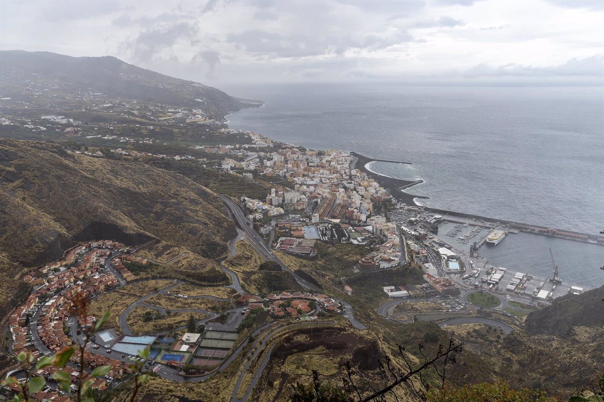
Canarias will have cloudy intervals and generally stable temperatures this Saturday, accompanied by a low probability of locally very strong gusts in the southwest and northeast slopes of the mountainous islands, as well as in the summits and foothills of the south of La Gomera and Gran Canaria during the second half of the day.
In the northern mountainous islands, there will be a predominance of cloudy skies with a chance of light and occasional rains, more likely and frequent in the foothills, according to the forecast by the State Meteorological Agency (Aemet).
Temperatures will remain relatively unchanged overall, with slight to moderate decreases in maximum temperatures in the foothills and high areas.
The wind will blow moderately from the northeast with strong intervals, especially on the southeast and northwest slopes of the mountainous islands, and on the summits and foothills of the south of La Gomera and Gran Canaria, where there will be a low probability of locally very strong gusts during the second half of the day.
There will be breezes on the southwest coasts of the higher relief islands.
REST OF THE COUNTRY
In Spain as a whole, the weather will remain unstable in the last days of Easter week, and for this Saturday, another cold front is expected to bring precipitation to much of the Peninsula ahead of the arrival of a polar air mass that will cause temperatures to drop and snow in the north and Pyrenees above 1,000 meters altitude.
For this Saturday, a new front is expected to bring precipitation to the central and eastern half of the Peninsula, with less likelihood in the east and southeast, and more intense in the northeast, especially in the Pyrenees, Huesca, and Catalonia, where they will be locally strong and persistent. Additionally, they could be accompanied by thunderstorms and small hail. From the early hours, a new storm, with an associated front, will enter through Galicia, reactivating the precipitation and intensifying the wind and waves.
Precipitation will occur, starting in the northwest and spreading during the afternoon to the west and northwest quadrant of the Peninsula, with more intense and persistent rainfall in Galicia. The intrusion of a polar air mass will bring a significant temperature drop, notably in the maximum temperatures of the eastern half.
The snow level will drop to 1,000-1,400 meters, with snowfall in the mountain systems of the northern half, with significant accumulations in the western Cantabrian range and the Huesca Pyrenees. The wind will blow from the west, with probable very strong gusts in areas of Galicia, Asturias, the western part of the northern plateau, and points of the southeastern Peninsula.
SUNDAY, 20
For Sunday the 20th, new fronts are expected to come in from the Atlantic, with scattered precipitation across the Peninsula, more intense and frequent in the northwest and Cantabrian coast. The snow level will rise, although the possibility of snowfall in mountainous areas will remain during the early hours.
Temperatures will start to rise in the western and central parts of the Peninsula. Westerly winds will persist with a tendency to calm down, except for some very strong gusts on the Cantabrian and Alboran coasts. In the Canary Islands, few changes are expected, with light rains restricted to the northern part of the islands.
MONDAY, 21
Starting from the 21st, with the penetration of high pressure systems in the Peninsula and the Balearic Islands, a decrease in instability is expected. However, it is likely that a new Atlantic front will affect areas of the western and northwest quadrant of the Peninsula, mainly the northern half of Galicia, the Cantabrian region, and the Central System surroundings. Moderate showers are also probable in northern Catalonia.
Temperatures will rise significantly across the Peninsula and the Balearic Islands, returning to values typical of this time of year. The wind will be from the west and southwest, with some strong gusts on the Cantabrian coast and the Alboran Sea. In the Canary Islands, the trade winds and the possibility of light rains in the north will persist.
