Additionally, the presence of calima is expected, mainly at high altitudes, and will affect the eastern province in particular.
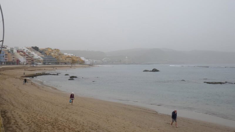
On the first day of June in the Canary Islands, there will be mostly clear skies, although with some cloudy intervals in low areas of the northern mountainous islands, as well as in the west of Lanzarote and Fuerteventura. This will be accompanied by the presence of calima, mainly at high altitudes, which will affect the eastern province significantly, as well as in mountain peaks and elevated areas of the rest of the archipelago, according to the forecast from the State Meteorological Agency (Aemet).
Temperatures will generally remain relatively unchanged, with a noticeable increase in minimums at Teide. Specifically, estimates indicate that temperatures could reach 30°C in mid-altitude areas facing south and west of the central islands, as well as in interior areas of Fuerteventura.
The wind will blow moderately from the northeast in the western islands and from the north in the eastern islands, with strong intervals on exposed coastlines of the northwest and southeast of the mountainous islands, where locally very strong gusts are not ruled out.
At high altitudes, the wind will blow strongly from the southwest, occasionally with very strong gusts.
SPANISH TERRITORY
In the rest of the country, the day will be marked by a yellow weather alert in 17 provinces due to storms and heat, with cities like Córdoba, Sevilla, Zaragoza, Ciudad Real, and Badajoz expecting temperatures around 40°C. Storm alerts will be active in Huesca, Teruel, Zaragoza, Burgos, Soria, Barcelona, Gerona, Lérida, Navarra, Álava, Guipúzcoa, Vizcaya, and La Rioja, while the yellow heat alert will be in effect in Córdoba, Jaén, Sevilla, Huesca, Teruel, Zaragoza, Gerona, Lérida, and Badajoz.
In general, Aemet forecasts a predominance of high pressure in the Iberian Peninsula, accompanied by the approach of an Atlantic trough, leading to relatively unstable weather. On Sunday, low clouds are expected in the Cantabrian region, mid and high clouds elsewhere, with convective cloud development in the interior from noon onwards.
Hence, precipitation and storms are likely in the far north, around the Iberian Peninsula, east and north of the North Plateau and extensive neighboring areas, with locally strong storms in the upper and middle Ebro, Pyrenees, and the Iberian range. There is a margin of uncertainty for other areas in the northern half and southeast, possibly in the form of dry storms with very strong gusts. In the archipelagos, skies are expected to be mostly clear, with intervals of low clouds in the north of the Canary Islands.
During the day, morning fog banks are likely in Galicia, Cantabria, upper Ebro, and Alboran. Calima is probable in the interior of the peninsula, without ruling out the Canary Islands.
Temperatures will remain high for the season in much of the Peninsula and mid-altitude areas of the Canary Islands. Maximum temperatures are expected to decrease in the northwest and west regions, notably in the interiors of Galicia and Cantabria, and increase in the northeast of Catalonia, particularly in Ampurdán. Minimum temperatures will rise in the Meseta, with a tendency to decrease elsewhere. In the Canary Islands, temperatures are likely to increase, except for maximums in the northern regions, which will decrease. There will be no significant changes elsewhere. Temperatures are expected to exceed 34-36 degrees on the southern Atlantic slope, northeastern depressions, Ampurdán, and valleys in the southeast, reaching 38-40 degrees in the Guadalquivir and Guadiana regions.
Finally, winds will blow from the east in Alboran, with some strong intervals in the Strait, tending to shift to the west by the end. There will be north winds with strong intervals in Rías Baixas. Trade winds in the Canary Islands. Light winds elsewhere, predominantly northeast in the Cantabrian region, east in the Mediterranean, and south in the rest of the country.