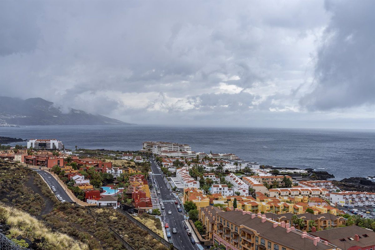
Canarias will start the week with mostly clear skies, except for intervals of high clouds in the first half of the day. A day in which the presence of light calima with the sunset in the easternmost islands is not ruled out, according to the forecast from the State Meteorological Agency (Aemet).
Temperatures will undergo few changes, except for a slight decrease in the minimums. The wind will blow moderately from the northeast, with intervals of strong winds on the northwest and southeast slopes of the mountainous islands, less likely at the summits, where occasionally very strong gusts cannot be ruled out.
IN THE REST OF SPAIN
An anticyclonic situation will prevail this Monday in most of the Peninsula and the Balearic Islands, with mostly clear skies or intervals of high clouds.
However, the approach of an Atlantic front from the northwest will cause an increase in cloudiness, leaving cloudy or overcast skies in the northwest quadrant and precipitation affecting Galicia and the Cantabrian region. Therefore, Galicia has an orange warning for waves and a yellow warning for wind. Asturias, Cantabria, and the Basque Country also have a yellow warning for waves.
Aemet highlights that precipitation is expected to be more abundant, with a probability of being locally strong and/or persistent in western Galicia, and it is not ruled out that it could end up affecting the Northern Plateau, northern Iberia, and the upper Ebro. It could be in the form of snow in the Cantabrian region with the snow level above 1,800-2,000 m.
Mist and fog banks are expected in the Balearic Islands and the eastern coast of the Peninsula, without ruling them out in the Northern Plateau or in the extreme northwest with the passage of the front.
As for temperatures, the maximums will decrease in the northwest of the Peninsula, with moderate increases prevailing in Levante, the Ebro Valley, the Iberian Peninsula, and points in both plateaus, with no expected changes elsewhere except for some slight increases.
The minimums will tend to increase in most of the country, notably in Galicia and the Cantabrian region; with decreases in areas of the Mediterranean and the Ebro Valley. Frost will be limited weakly to mountains in the northern half and southeastern part of the Peninsula, moderate in the Pyrenees.
In addition, there will be easterly winds in the Strait of Gibraltar and the Alboran Sea tending to veer to westerly, and there will be a predominance of south and southwest winds in Galicia, the Cantabrian region, and the rest of the Mediterranean, and west and southwest winds in the rest of the Peninsula. Winds will be moderate on the coasts and in northern and northwestern areas, especially in the north of Galicia and west of Asturias with intervals of strong winds and very strong gusts.